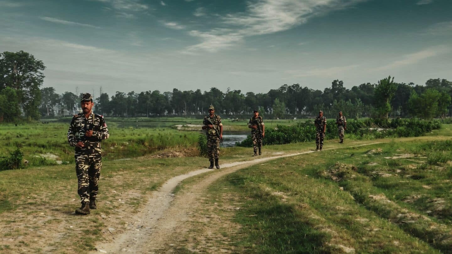
India and Nepal to map Dasgaja 10-yard strip by drone
India and Nepal are teaming up to use drones for mapping Dasgaja, a narrow, 10-yard strip of no-man's land that stretches along their 1,880-kilometer border.
The move, decided at a recent joint meeting in Lucknow, is meant to sort out "cross-border occupation," where people from one country end up living or farming on land that technically belongs to the other.
India Nepal 3-year drone mapping plan
Drone flights will kick off after the monsoon (so around September or October) and should wrap up in about three years.
The plan is to get aerial images so both countries have a jointly verified technical record of reported cross-border occupation and Dasgaja encroachment.
The Survey Officials's Committee decided to use drones for the mapping, and Nepal's Foreign Ministry later clarified that Shah was referring primarily to Dasgaja encroachment and cross-border occupation.