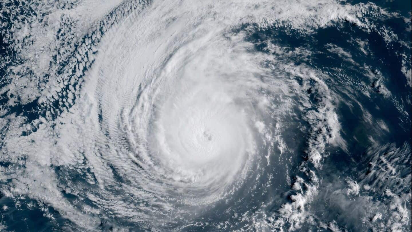
Scientists find weak SSTGs linked to rapid hurricane intensification risk
Scientists just found a new clue in the ocean that could help forecasters better assess whether a storm is likely to rapidly intensify.
The study highlights something called sea surface temperature gradients (SSTGs): basically, how much the water temperature changes over short distances.
When these gradients are weak (meaning the water stays about the same temp), hurricanes can get stronger really fast because the ocean doesn't cool them down as much.
Researchers recommend adding SSTGs to forecasts
Looking at cyclone data from 2003 to 2022, researchers saw storms over weak SSTGs got up to 40% more intense, and about 70% of the strongest bouts of rapid intensification happened in these conditions.
Plus, SSTGs have been getting weaker by about 10% every decade since 1993, possibly thanks to climate change, which could mean even stronger storms in the future.
The team says adding SSTG info to weather models might give communities earlier warnings before big storms hit.