Strongest-ever El Nino threatens extreme weather through 2027
What's the story
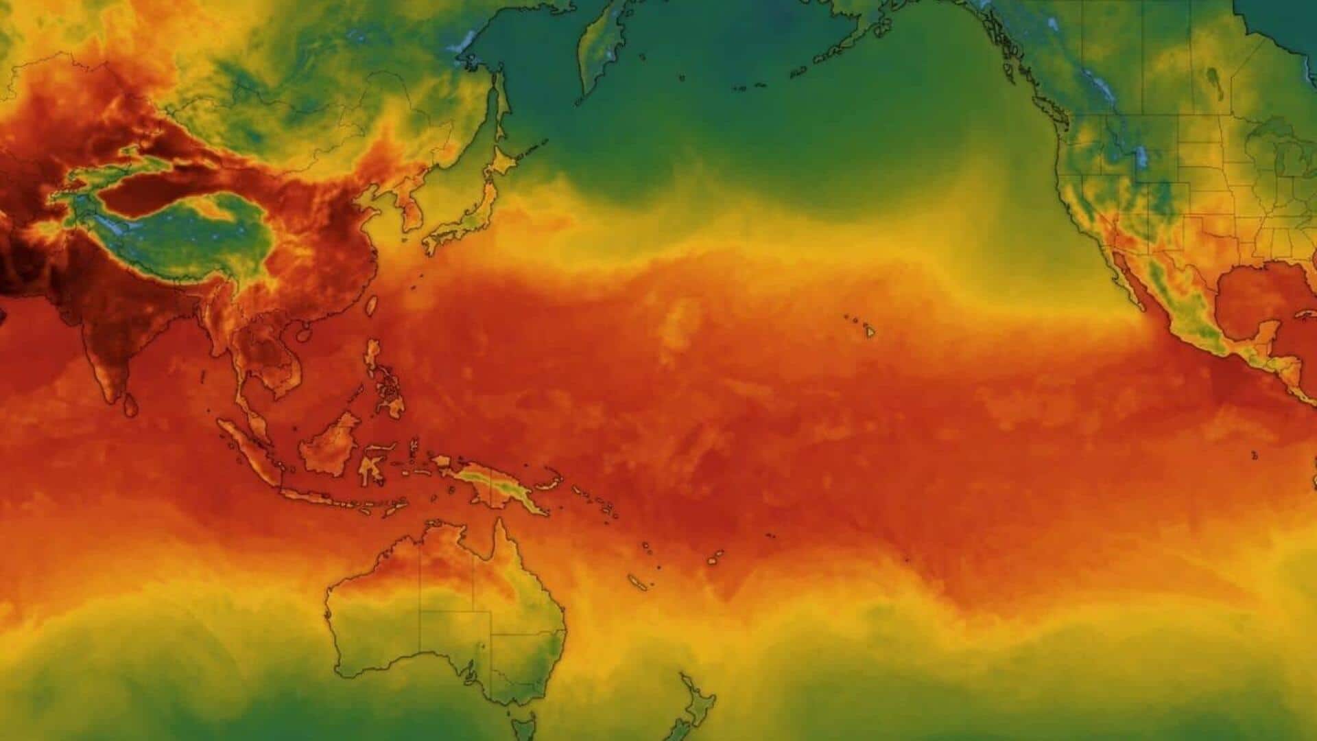
The World Meteorological Organization (WMO) has warned that the El Nino weather phenomenon is likely to become even stronger and could be the most intense ever recorded. The UN agency's forecasts indicate a nearly 100% chance that El Nino will continue until February 2027, driven by unusually high Pacific Ocean temperatures. This is the first time WMO has expressed such confidence in its predictions.
Weather shifts
What is El Nino?
El Nino, a periodic warming of sea surface temperatures in the eastern Pacific due to weakened trade winds, occurs every two to seven years.
It can last up to 12 months and cause heavy rainfall and droughts across Latin America.
A very strong El Nino can drastically alter global rainfall and temperature patterns, leading to extreme weather events like droughts and typhoons.
Temperature rise
Effects of El Nino already felt in Central America
The WMO has noted that this year's El Nino is already one of the four "very strong" events since 1950, with Pacific Ocean temperatures more than 2°C above normal.
The phenomenon has already affected soft commodities in tropical regions and caused a severe food crisis across Central America's Dry Corridor.
The WMO also warned that while El Nino will peak toward the end of this year, its effects will continue into 2027, leading to higher global temperatures next year.
Action plan
WMO ramps up preparedness efforts
In light of the potential impacts of El Nino, the WMO is ramping up preparedness and early warning efforts.
These measures include encouraging states to take early action such as switching to drought-resistant crops in some areas.
"WMO is committed to working closely with partners across the United Nations and humanitarian system to provide the climate intelligence and insights needed," said WMO Secretary-General Celeste Saulo.