Super El Nino fuels three major storms across Pacific
What's the story
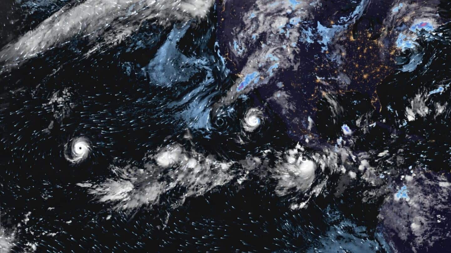
Satellite imagery has captured three storm systems swirling across the Pacific Ocean, highlighting an intense El Nino-season pattern. The cluster of storms comes as Hurricane Polo heads toward Baja California Sur in Mexico. The phenomena are associated with heavy rain, strong winds, and mudslide risks in the region. The storms are developing against the backdrop of El Nino, a climate phenomenon characterized by unusually warm sea surface temperatures in the central and eastern equatorial Pacific.
Storm systems
Satellite imagery shows multiple tropical systems in Pacific
The satellite image shows multiple tropical systems developing across the eastern and central Pacific. This includes two well-defined cyclonic formations and another developing storm system.
The concentration of activity highlights how the Pacific Ocean has become a hotspot for tropical disturbances.
One of these is Hurricane Polo, which has weakened to a Category 3 storm but still poses a threat to Mexico's Baja California peninsula.
Storm trajectory
Hurricane Polo expected to make landfall on Monday night
As of Sunday evening, Hurricane Polo was located about 322km off the Baja California coast. It was moving north-northwest at 19.32km/h with sustained winds of 201km/h.
The hurricane is expected to make landfall along the Pacific coast of Baja California Sur on Monday night.
This could bring heavy rainfall and damaging winds to the popular tourist destination, with forecasters expecting sustained winds of 60-129km/h around the landfall area.
Tropical developments
El Nino intensifies tropical cyclone activity
The satellite imagery also shows a new tropical depression forming in the wake of Hurricane Polo.
Another disturbance is expected to develop far southeast of Hurricane Nolo and Hawaii.
Together, these systems reflect the intense tropical activity unfolding across the eastern and central Pacific.
The storms are developing against El Nino, which can influence atmospheric circulation, wind patterns, and ocean temperatures, creating conditions that favor tropical cyclone development in parts of the Pacific.
Rainfall forecast
Polo expected to trigger flash floods, mudslides in Mexico
Hurricane Polo is expected to dump 4-8-inch of rain across Baja California, with isolated maximum amounts reaching up to 12-inch in Baja California Sur.
The rainfall could trigger life-threatening flash floods and mudslides, especially in vulnerable areas.
After crossing the Gulf of California, the system is forecast to move toward northern Mexican states Sonora and Chihuahua, potentially bringing further rainfall.