China's world's largest hydropower project facing major natural threat
What's the story
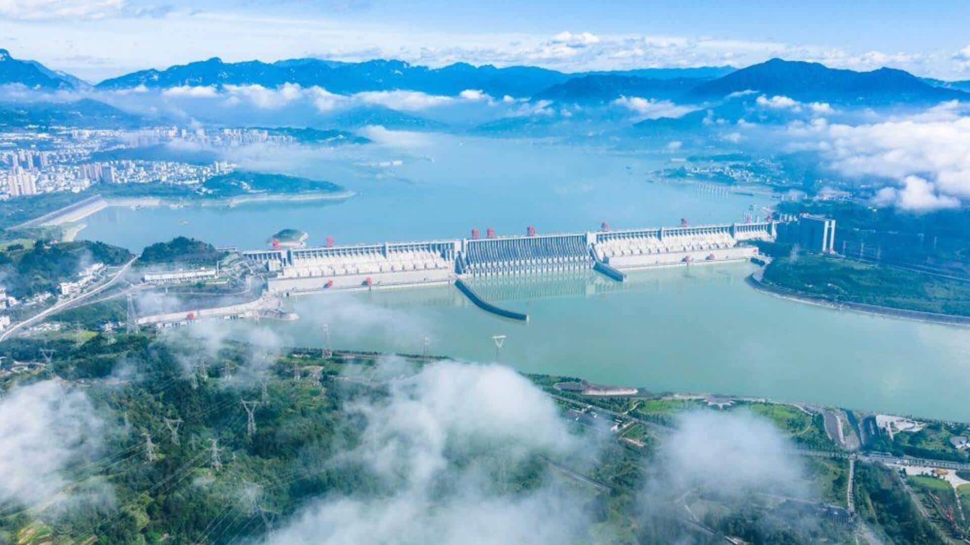
China's mega hydropower project on the Yarlung Tsangpo River in Tibet has come under scrutiny after state-backed geologists warned of major geological risks. The dam is expected to produce 300 billion kilowatt-hours of electricity annually, which is three times the capacity of Three Gorges Dam, currently the world's largest hydropower plant. However, a study published in Sedimentary Geology and Tethyan Geology has revealed that the project is located above an active fault line known as the Paizhen Fault.
Geological risks
Paizhen Fault can impact nearby structures
The study was conducted by Chengdu University of Technology, the Civil-Military Integration Centre of the China Geological Survey, and the Middle Yarlung Zangbo River Natural Resources Observation and Research Station.
"The Paizhen Fault, which has been highly active since the Pleistocene [also known as the Ice Age], will have a major impact on the structural stability and construction of nearby structures, including dams, roads, bridges and tunnels, as well as the reservoir area," the researchers wrote.
Structural vulnerability
Risks of slope failures
They said that this fault has fractured surrounding rocks, weakening their mechanical properties.
"This makes the foundation bearing capacity and structural stability of nearby engineering projects more susceptible to damage."
The researchers said that the terrain around the reservoir has a "loose structure and weak cohesion," warning that "after long-term immersion and under the influence of fault activity and earthquakes, instability of the slopes on both sides of the reservoir area can be extremely easily triggered."
Ecological concerns
Concerns for India
The Yarlung Tsangpo, which becomes the Brahmaputra in India's Arunachal Pradesh, is a crucial river system for India. It supports agriculture, drinking water supplies, fisheries, and hydropower generation across Northeast India.
Any disruption to its flow could have serious downstream consequences.
The study also stated that the Paizhen Fault is part of a network of tectonic breaks in the eastern Himalayan region, where the Indian and Eurasian tectonic plates continue to collide.
Seismic threat
Evidence of fault's activity
Geological evidence shows the fault has been active from the Early Pleistocene to the Holocene epoch, with sediment analysis indicating activity as recently as 9,500 years ago.
The researchers cited a 2017 earthquake in Milin, Tibet, as proof of the fault's ongoing seismic threat.
They stressed that "under regional seismic action, landslides and collapses can easily be induced."
Safety measures
Recommendations for safety measures
The researchers recommended strengthening structural stability safeguards during construction by implementing slope reinforcement and retaining barriers.
"Implementing strategies such as slope reinforcement and retaining barriers is essential to mitigate the risks of landslides and collapse to construction and operation," they said.
The Chongyi Water Resources Bureau estimates that the project, which started construction last year, could cost up to a trillion yuan ($127 billion; £109.3 billion).