'Glacier collapse' caused Nepal flash floods, says USGS
What's the story
The United States Geological Survey (USGS) has clarified that the devastating flash floods in Nepal were not triggered by an earthquake but by a glacial collapse that caused seismic activity and "catastrophic" downstream impacts in Nepal and Tibet. The initial seismic activity was reported as a 4.4-magnitude earthquake along the Nepal-China border north of Kathmandu at 8:37am (local time). However, the USGS later confirmed it was a landslide involving ice and rock that caused downstream destruction.
Disaster details
Event was initially reported as magnitude 4.4 earthquake
"This event was initially reported as a magnitude 4.4 earthquake. Additional analysis of nearby seismic stations, long-period seismic waves, and satellite imagery led to the determination that the seismic event was instead a glacial collapse and debris flow, and that no earthquake had occurred," it said.
The USGS later revised its assessment, saying, "A magnitude 5.2 seismic event occurred near the border between Nepal and China on August 26 at 8:37am local time."
Study
Experts investigating whether ice-rock avalanche triggered flash flood
Experts at the International Centre for Integrated Mountain Development (ICIMOD) have suggested that an ice-rock avalanche may have triggered the massive flash flood and mudslide on the Nepal-Tibet border.
Preliminary assessments by ICIMOD scientists and their partners in Nepal and China indicate that a large volume of ice and rock debris may have entered Lende Khola, a tributary of the Bhote Kosi River. This could have caused a sudden surge carrying water, sediment, and boulders downstream.
Statement
Water monitoring stations along Trishuli river were damaged
"Hydrological observations indicate the exceptional speed and magnitude of the flood wave. Water levels on the Trishuli River at Galchchi reportedly rose by as much as nine meters within 30 minutes, while levels at Malekhu increased by seven meters over a similar period," said.
Several water monitoring stations along the Trishuli river were damaged or washed away during the floods. However, the Glachchi monitoring station remains operational.
Experts
Lhende Khola has flooded twice in 14 months
Experts are also looking into whether debris temporarily blocked the river at a narrow section, forming a landslide dam.
Such blockages can create secondary hazards if impounded water is suddenly released downstream.
"Today's disaster in the Lhende Khola underscores the need for stronger regional collaboration, with governments taking coordinated action to respond to cross-border hazards," Qianggong Zhang, Head of Climate and Environmental Risks at ICIMOD said, adding the Lhende Khola has flooded twice in 14 months.
Signals
Climate change's role yet to be determined
While climate change is impacting glaciers, snow conditions, permafrost, and mountain slopes across the Hindu Kush Himalaya, the scientists said it is too early to conclude its role in this specific event.
"Multi-hazard risks are increasing in the Himalayas and the Lhenda Khola case is one such example."
"With these communities at the forefront, real time risk information needs to reach local decision-makers and translate into life-saving decisions," said Basanta Raj Adhikari, Director, Centre for Disaster Studies, Tribhuvan University, Nepal.
Ongoing efforts
Rescue operations underway; Prime Minister pledges resources
Rescue operations are currently underway in Rasuwa and other affected areas. Prime Minister Balendra Shah has pledged all government resources to aid relief work.
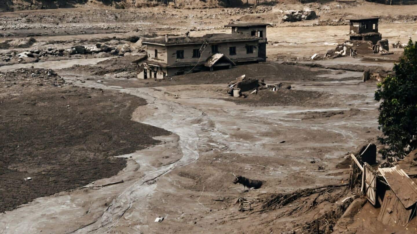
The floods destroyed bridges and submerged houses and vehicles in mudslides along the Bhote Koshi and Trishuli river systems.
Over 160 people have died and thousands remained missing after the tragedy in the Rasuwa region. On the Tibet side, three people have been confirmed dead.