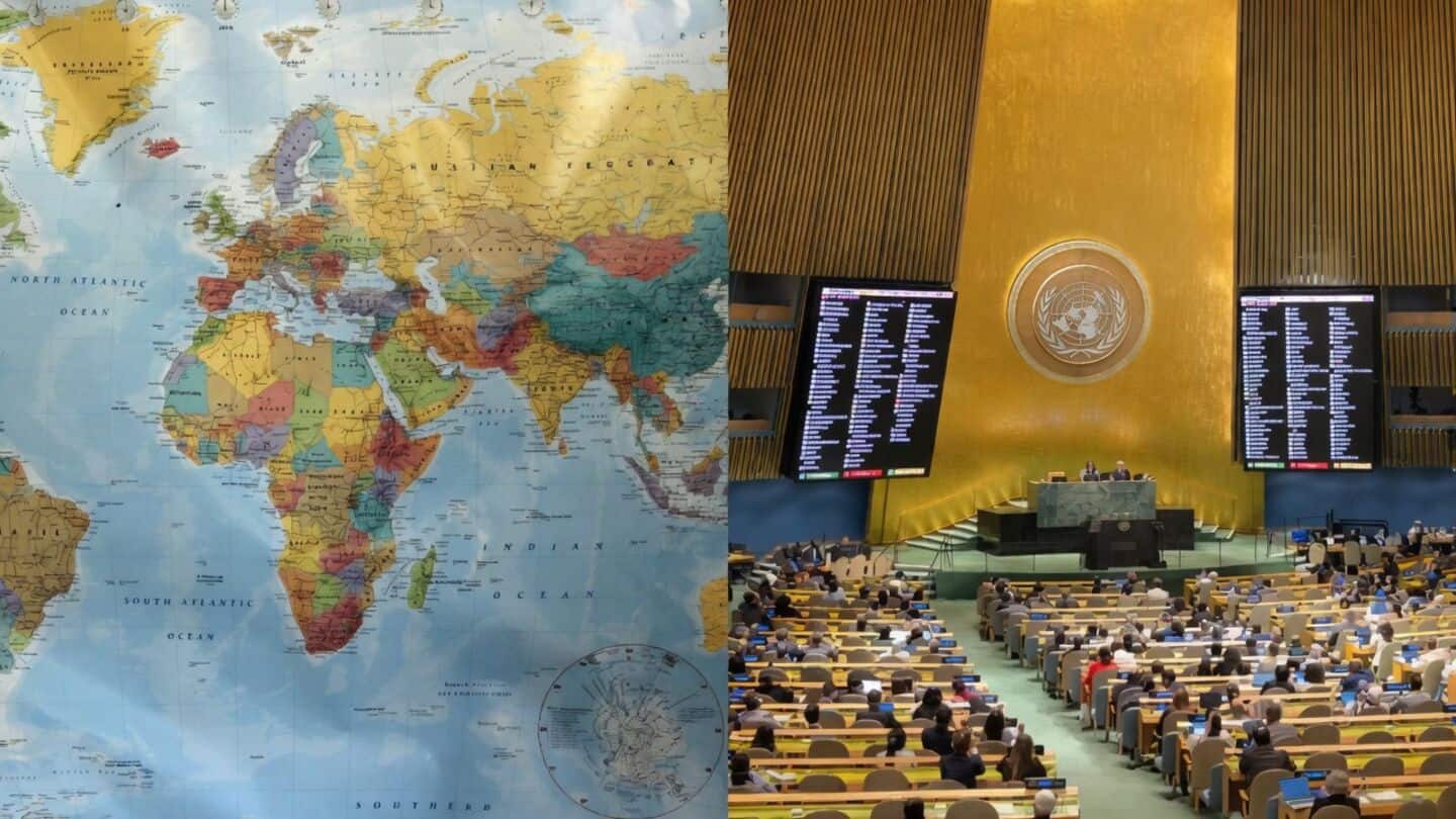
India backs UNGA resolution promoting equal-area world maps
What's the story
India has supported a United Nations General Assembly (UNGA) resolution that promotes the use of equal-area world maps. However, it clarified that its support doesn't endorse any specific map projection or national boundary depiction. The resolution, titled "Correct the Map: Rebalancing Global Cartographic Representation and Promoting Equitable Representation of the World's Regions, Particularly Africa," was adopted on September 4 to promote equal-area projections that maintain relative sizes of landmasses.
Territorial integrity
India's stand on territorial representation
Ministry of External Affairs (MEA) spokesperson Randhir Jaiswal said India voted for the resolution but stressed it doesn't endorse any specific map or projection.
He reiterated that India's sovereign territory, including Jammu and Kashmir and Ladakh, must be represented according to India's official map.
"Any inaccurate or misleading depiction is unacceptable," Jaiswal said, adding that India's position on sovereignty and territorial integrity is "clear, consistent and non-negotiable."
Resolution impact
About the UNGA resolution
The UNGA resolution was spearheaded by Togo and supported by the African Union. It calls for equal-area projections to be used in education, public communication, etc., where size comparison is important.
The widely used Mercator projection, developed in 1569 for navigation, distorts landmass sizes as they move away from the equator.
This makes Africa appear smaller compared to northern regions than its actual size.
Alternative projection
What is the Equal Earth projection?
The Equal Earth projection, developed in 2018, preserves the relative area of landmasses while keeping recognizable shapes.
Under this projection, Africa appears larger while Europe and North America appear smaller compared to their size on Mercator maps.
However, the UN vote doesn't mandate an immediate change in world maps as it is non-binding. Its practical impact depends on voluntary adoption by governments and institutions.