Did ISRO's NISAR mission predict ice-rock avalanche in Nepal?
What's the story
The NASA-ISRO Synthetic Aperture Radar (NISAR) mission had provided critical evidence of ground deformation, weeks before the deadly 2026 ice-rock avalanche in the Nepal-Tibet Himalayas. The data shows that the steep mountain slope was undergoing significant deformation prior to its collapse, indicating severe stress within the unstable rock and ice shelf. The findings were shared by Zenjiang Liu, a PhD student at Chang'an University.
Displacement detection
NISAR data shows weeks of ground displacement
The radar measurements from NISAR show several meters of displacement concentrated in the eventual source area of the avalanche.
Three-dimensional visualizations further illustrate how this deformation was focused on the steep upper slope, not evenly distributed across surrounding terrain.
This concentration of motion is particularly important as it could serve as a detectable warning sign before major slope failures occur.
Avalanche aftermath
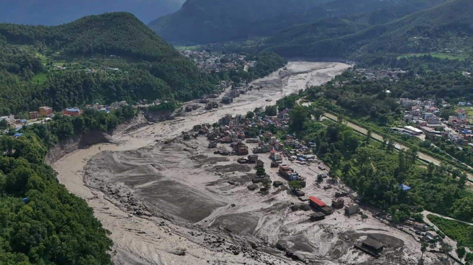
Avalanche triggered devastating flood downstream
The 2026 avalanche triggered a devastating flood downstream, affecting areas across the Nepal-Tibet region.
This incident highlighted how a high-Himalayan failure can quickly escalate into a larger threat as ice, rock, and debris flow into river valleys.
NISAR's observations highlight the potential of regular radar monitoring in some of the world's most dangerous mountain environments.
Unlike optical satellites, radar systems can collect data through clouds and don't rely on daylight.
Tracking technology
A look at Synthetic Aperture Radar pixel-offset tracking
Synthetic Aperture Radar (SAR) pixel-offset tracking works by comparing radar images taken at different times and measuring how features on the ground have shifted.
In this case, it detected significant cumulative movement in the weeks leading up to the ice-rock avalanche.
Scientists believe such capabilities could eventually provide a new layer of early warning for high-risk mountain regions.
Monitoring necessity
Need for systematic monitoring of mountain landscapes
The findings from NISAR's observations strengthen calls for systematic monitoring of unstable mountain landscapes.
Experts argue that satellite-based deformation data for high-risk areas should be routinely collected, openly accessible, and shared between governments.
This is especially important in regions where hazards cross national borders.
The NISAR observations show the potential of detecting severe stress on a mountain slope from space before disaster strikes, giving authorities valuable time to investigate and prepare.