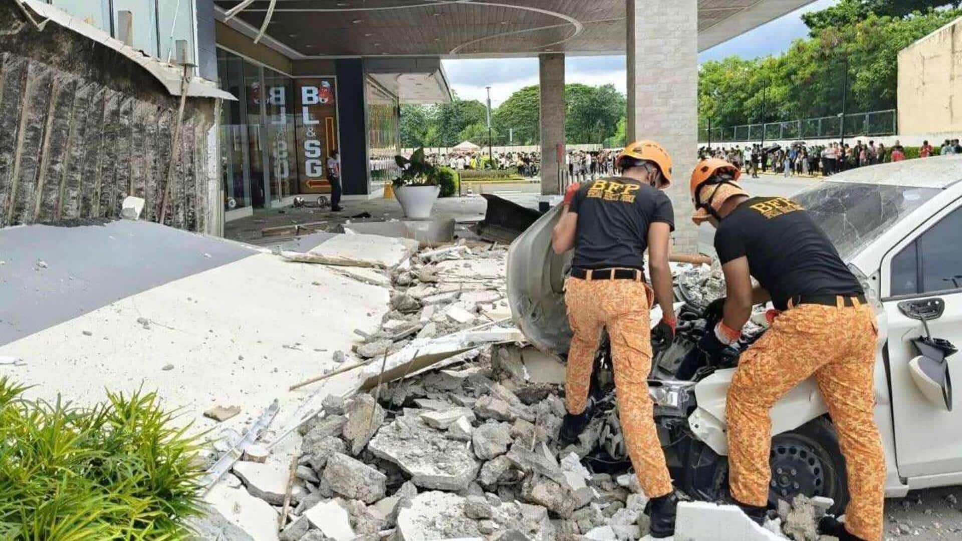
Strong 6.3-magnitude earthquake rocks southern coast of Philippines
What's the story
A 6.3-magnitude earthquake struck off the southern coast of the Philippines on Wednesday, according to the United States Geological Survey (USGS). The quake occurred at 12:14pm local time, about 32km southwest of Sarangani Island. The USGS said the quake did not trigger a tsunami warning. Despite the strong tremor, there have been no immediate reports of casualties or damage.
Impact assessment
No reports of casualties or damage
The German Research Centre for Geosciences (GFZ) also confirmed the earthquake's magnitude as 6.3 and recorded its depth at 10km.
The quake was felt on Sarangani Island, where many people had gathered for a government subsidy distribution at that time.
Sarangani Island rescuer Harly Sauro told AFP, "The shaking was quite strong. I saw people in panic. They were running and shouting."
"Based on our assessment and experience, we don't think there will be casualties or damage," Sauro said.
Seismic zone
Earthquakes are common in the Philippines
The Philippines is located on the Pacific "Ring of Fire," a region known for its high seismic activity due to the meeting of several tectonic plates.
Earthquakes are common in this area, with the most recent major quake occurring on June 8.
That earthquake killed at least 76 people on Mindanao island and caused landslides and structural damage.