#NewsBytesExplainer: Why North India is facing sudden surge of rainfall
What's the story
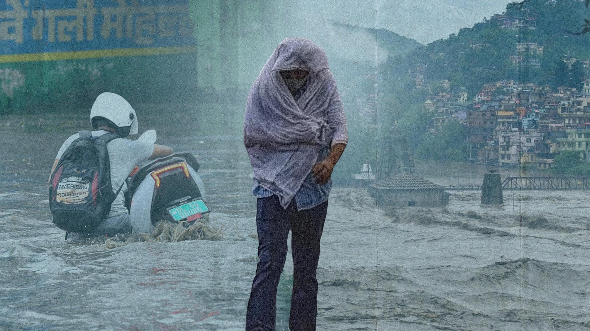
After a 10% deficiency in overall rainfall across India till the end of June, excessive rainfall activity in the west coast and northern states over the last week reportedly resulted in a 2% excess rainfall on Sunday. Torrential downpours have claimed at least 22 lives across North India amid flash floods and landslides. But what is behind the sudden rainfall surge? Let's find out.
Information
Active western disturbance interaction with monsoon trough caused heavy rains
The India Meteorological Department (IMD) said that an active western disturbance over the Himalayas came into contact with a vigorous monsoon trough, which resulted in heavy downpours in the northern region. A cyclonic circulation over central Rajasthan has further contributed to the rains.
Western disturbance
About western disturbances and monsoon troughs
Western disturbances are pockets of low-pressure air that originate in the Mediterranean or Central Asia and bring rain by impacting the western Himalayas. Meanwhile, a monsoon trough is a stretch of low-pressure areas that acts as a point of convergence for moist air masses from different directions. It leads to the formation of dense vertical clouds, called cumulonimbus, which bring heavy rains and thunderstorms.
Pressure
Temperature contrast between areas causes formation of monsoon troughs
Though western disturbances are mostly observed during the winter, they can occur throughout the year. On the other hand, the monsoon trough, which plays an important role in bringing about the monsoon rains, occurs only during the monsoon when the land heats up more quickly than the surrounding ocean. This creates a temperature difference, causing the formation of low-pressure areas that trigger wind flows.
Statement
Heavy rains in north to reduce from Tuesday: IMD
IMD Director General Mrutyunjay Mohapatra has said the intense spell of rainfall is a result of a western disturbance interacting with the monsoon trough. He added that the rainfall deficit has been covered now, predicting good rainfall this month. The downpour in northern states will gradually reduce from Tuesday, he said, adding that the last nine days witnessed 24% excess rainfall for July.
Information
East, northeast, peninsular areas still rain-deficient
Although Mohapatra said the rainfall deficit had been covered, the IMD on Sunday said northwest India experienced 59% excess rainfall and central India 4%. However, the monsoon showers reportedly remained deficient by 23% over peninsular India and by 17% over east and northeast India.
Climate change
Impact of climate change on monsoon: M Rajeevan
Separately, former secretary of the Ministry of Earth Sciences, Madhavan Rajeevan, said the recent floods in Himachal Pradesh had similar conditions to the 2013 Uttarakhand floods. He called it a reminder of the important impacts of climate change on the monsoon. "It rains fewer hours, but when it rains, it rains very heavily," he tweeted, calling for the improvement of the forewarning systems.
Global warming
Global warming increased moisture, hills more susceptible to heavy rainfall
Separately, the Indian Institute of Tropical Meteorology's climate scientist, Roxy Mathew Koll, said the hilly areas and their surroundings, such as the Himalayan foothills and the Western Ghats, are particularly susceptible to heavy rains and landslides. Global warming has led to an increase in moisture, which the hills stop and lift—the phenomenon known as orographic lifting—and ultimately comes down as heavy showers, he said.