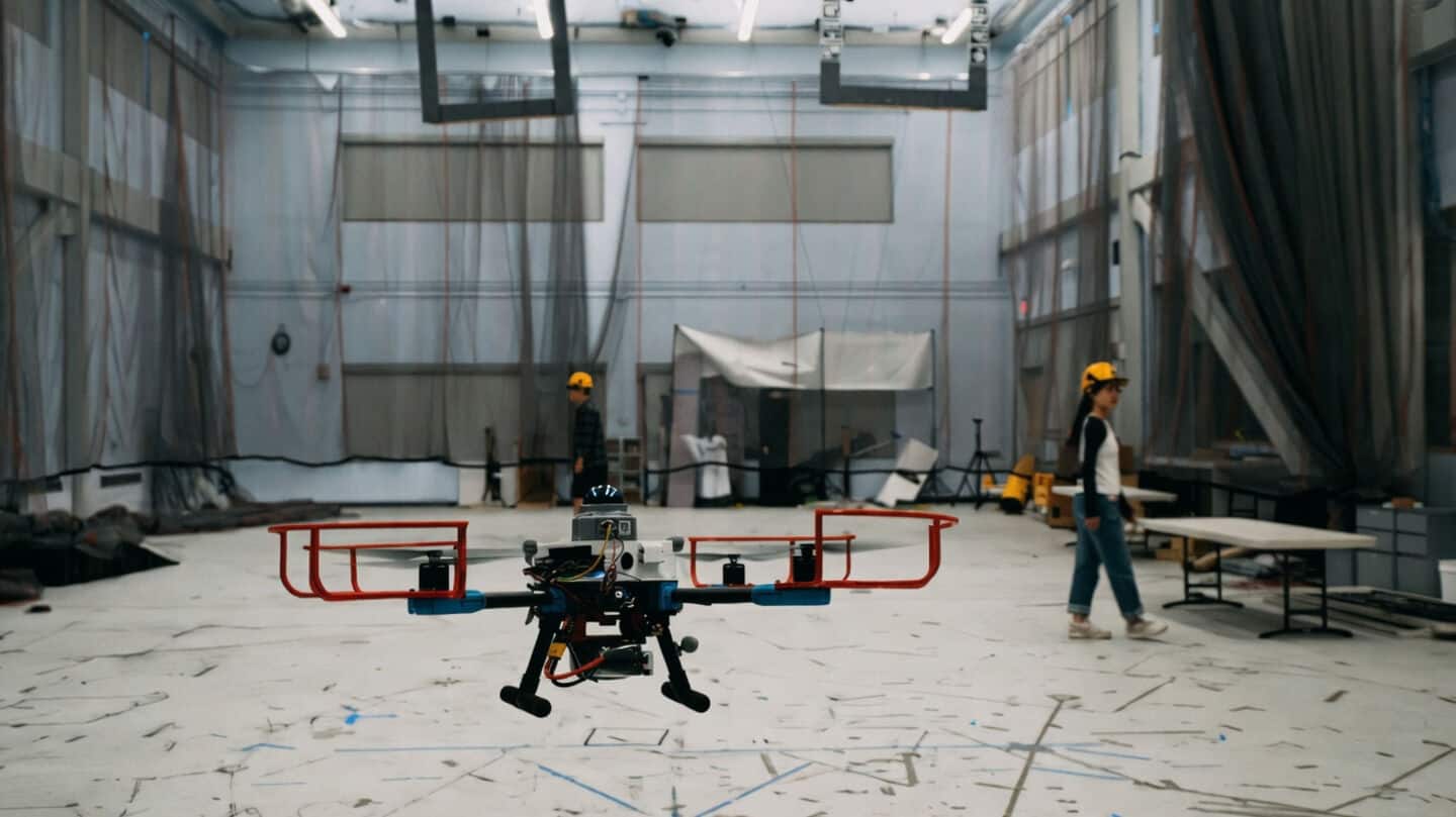
MIT has built SANDO to help drones navigate disaster areas
MIT has built a smart navigation system for drones called SANDO, designed to help them fly through disaster areas without needing a preset path.
Instead of following a planned route, SANDO predicts where hazards might move and creates safe paths on the fly, making drone missions in risky places much safer and more flexible.
SANDO avoided obstacles across 12 flights
SANDO uses the drone's cameras and sensors to spot obstacles, then draws virtual "safety bubbles" around them that shift as things move.
In real-world tests, drones using SANDO avoided all moving obstacles across 12 flights with a real drone.
The MIT team now wants to make SANDO even smarter with machine learning and lighter processing, plus eventually get multiple drones working together for faster, safer search-and-rescue missions.