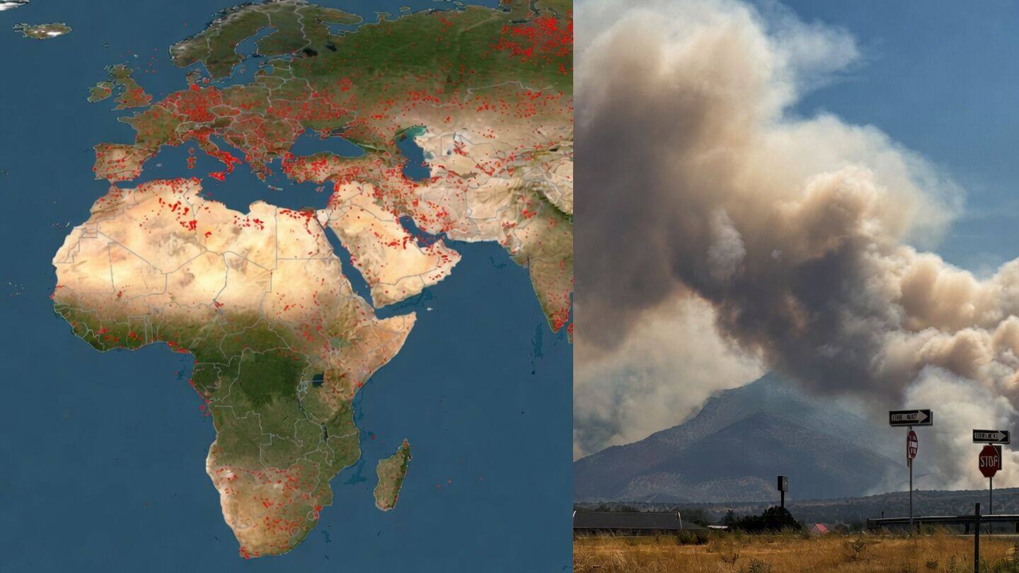
NASA FIRMS tracks wildfires across North America and Europe
Technology
Wildfires are breaking out across North America and Europe as extreme heat, drought, and strong winds turn plants into kindling.
NASA's FIRMS satellite system has picked up major fire activity near Spokane in the US parts of Canada, and several European regions, showing just how fast these fires can start and spread.
FIRMS provides near real time data
FIRMS uses satellite data to spot heat from active fires in almost real time.
This technology lets emergency crews and researchers see where fires are moving so they can respond faster and understand the bigger impact on people and nature.
It's become a crucial tool for staying ahead of wildfire risks.