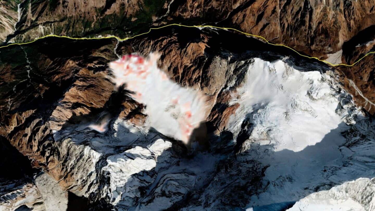
Satellite interest rises after Himalayan glacier collapse kills over 1,000
A glacier collapse on the Nepal-Tibet border last week triggered deadly floods, leaving more than 1,000 people dead and catching nearby communities off guard:
there was little warning before disaster struck, and in some cases the warning reached communities only after the glacier collapse had already triggered the flood.
Now, there's renewed interest in whether satellite technology could help spot these kinds of dangers earlier and prevent future tragedies in the Himalayas.
Sentinel-1 and NISAR showed pre-collapse movement
Synthetic Aperture Radar (SAR), or SAR, picked up signs of glacier movement before the collapse, showing shifts that ranged from millimeters to meters.
Researchers in India, China, and the US have also pointed to movement in the area before the collapse using Sentinel-1 SAR data and NASA-ISRO's NISAR.
Experts say combining satellite data with optical satellite imagery, radar data, InSAR and LiDAR, river flow measurements, seismic records, and high-altitude weather observations could build better early warning systems for mountain communities at risk.