U.S.-based Vantor launches 10-satellite 3D imagery offering 12-inch resolution daily
Vantor, a U.S.-based company, just rolled out next-level 3-D satellite imagery that lets us see the world with incredible clarity, think 12-inch resolution, almost as it happens.
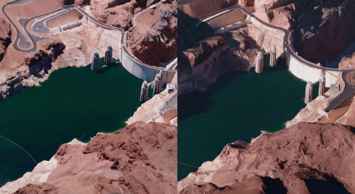
Their fleet of 10 satellites can spot everything from dropping water levels at Hoover Dam to shipbuilding at China's Yulin Naval Base, all updated super quickly.
Vantor 3D imagery cheaper than planes
These 3-D views are made by blending shots from different angles and get refreshed every day (or even faster).
It's way cheaper than flying planes for aerial photos and works great even where GPS is jammed or conditions are tough.
As Vantor's Chief Product Officer Peter Wilczynski puts it, "This is the future of spatial intelligence."
Plus, you can zoom in on places like the Eiffel Tower or use it for disaster response and tracking big changes around the globe.