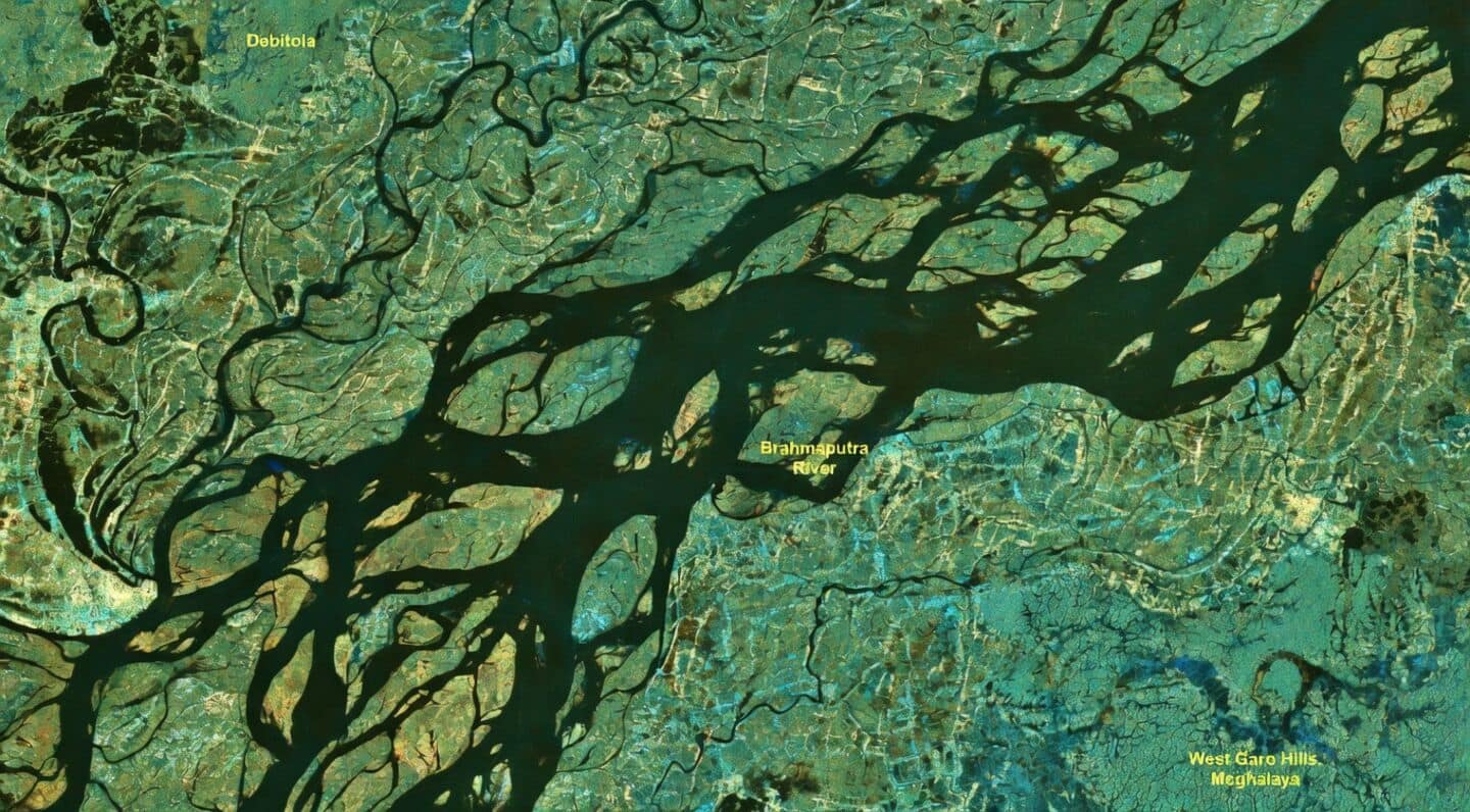
India's Nisar satellite images Brahmaputra river during Assam monsoon floods
Technology
Assam is facing heavy monsoon floods, and India's Nisar satellite just snapped a detailed view of the massive Brahmaputra River from space.
The July 9 image shows the river winding through sandbars and floodplains near Debitala, even extending toward Meghalaya's West Garo Hills.
Nisar shows floods, over 524,000 affected
Nisar's radar imagery makes it easy to spot flooded areas, vegetation, and inhabited zones. It also highlights how the river constantly shifts its banks around sandbars.
This year's floods have hit over 524,000 people in Assam, left 68 dead, and submerged large parts of the state.