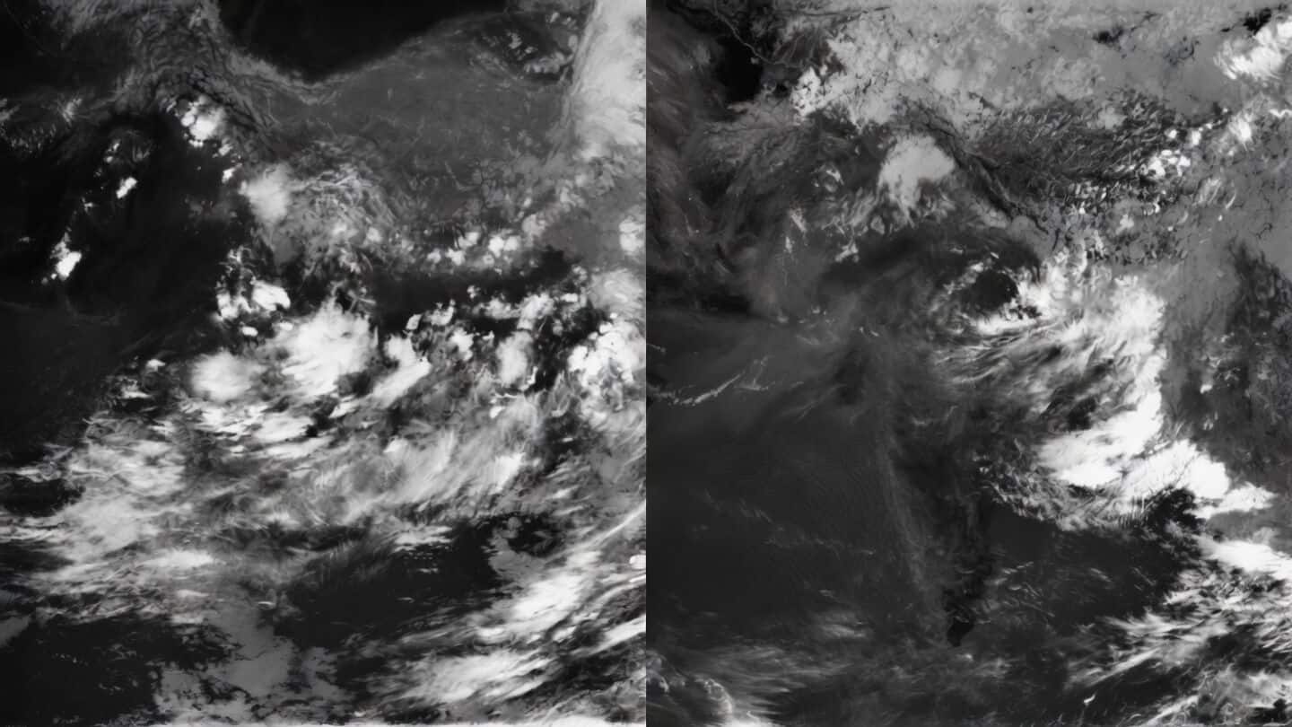
Satellite images show India's monsoon shifting east and piling up
Technology
Satellite images show a big shift in India's 2026 monsoon.
At the end of June, rain clouds were spread across much of the country, helping ease an earlier rainfall shortage.
But by mid-July, those clouds had moved east, leaving central and western India drier while piling up over the Northeast and Himalayan foothills.
India's overall rainfall 18% below average
This "monsoon break" is pretty normal, but it leaves most regions with less rain. India's overall rainfall is still 18% below average so far.
Meanwhile, the Northeast is set for a soaking: forecast models say states there could get up to 300mm of rain (and parts of Meghalaya might see over 500mm), raising real risks of floods and landslides.
If you're in those areas, stay alert.